Coast & Nature · Guide
Mobile-Tensaw Delta Paddling
America's Amazon starts minutes from Mobile, and a public launch, a mapped canoe trail and a float plan make it approachable for first-timers.
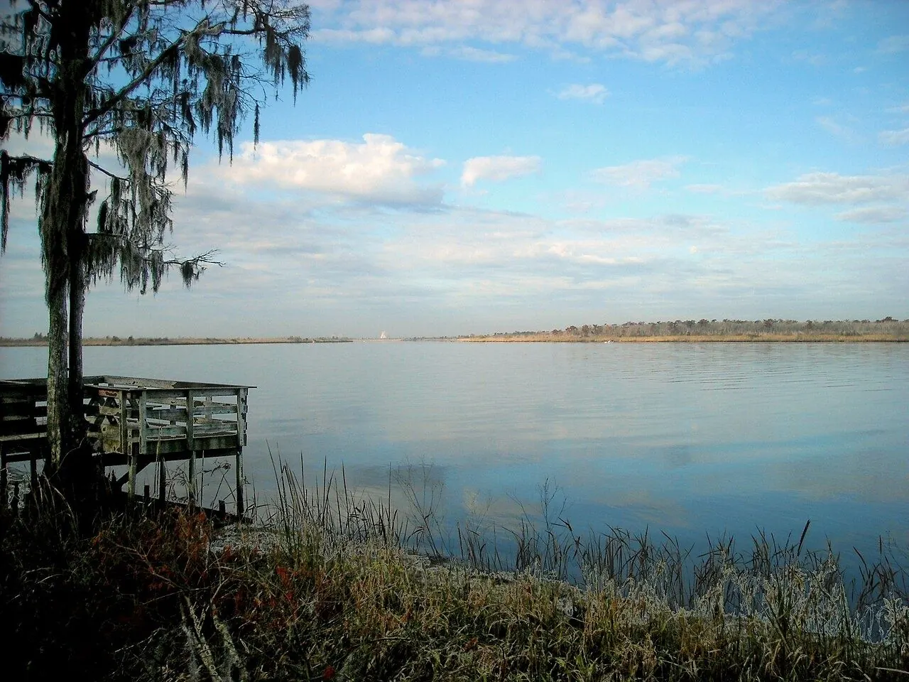
Photo: JodyB, Wikimedia Commons, CC BY-SA 3.0
The Mobile-Tensaw River Delta, dubbed "America's Amazon" by tourism guides, is a vast, intertwining web of rivers, bayous, cypress swamp and marsh covering more than 250,000 acres at the head of Mobile Bay. For a beginner, the easiest entry point is the 5 Rivers Delta Resource Center in Spanish Fort, which has its own kayak launch.
What the Delta Is
Five rivers come together here before entering Mobile Bay, and the result is the largest river delta in Alabama. The nickname reflects its biological richness: the delta draws more than 300 species of birds, and its waters hold fish such as Gulf sturgeon, alligator gar and paddlefish, along with an unusual variety of turtles and freshwater mussels.
Launches and the Bartram Canoe Trail
The 5 Rivers center sits off the Causeway in Spanish Fort and has nature trails, exhibits and a kayak launch known as Bartram Landing. Historic Blakeley State Park and Meaher State Park also give public access to the delta. Check the parks' pages for hours and any launch fees before you go.
The Bartram Canoe Trail, run by Alabama State Lands, is the guiding framework for paddling the delta. The upper delta system opened in January 2003 and the lower delta system in January 2018. The upper delta has six day-use trails and six overnight trails, with two land-based campsites and four floating platform campsites; the platforms take groups of no more than eight and are available by reservation only, to canoeists and kayakers. The lower delta adds four elevated camping shelters on its eastern side, also by reservation, reached from landings including Historic Blakeley State Park and 5 Rivers. A printable map and an interactive map are at alabamacanoetrails.com.
Staying Safe on the Water
For a first trip, pick a short day-use trail from a staffed launch, paddle out against any current or wind so the return is easier, and turn back with plenty of daylight left. Channels, bayous and marsh edges can look alike, so carry the trail map and a charged phone or GPS in a waterproof case.
Check the National Weather Service Mobile forecast before launching. Wind can build chop quickly on open water near the bay and the Causeway, and summer brings heat and afternoon thunderstorms. Get off the water when thunder is heard, wear a life jacket, and carry more drinking water, sun protection and bug repellent than you think you need.
The delta is wild country. Alligators and snakes, including venomous cottonmouths, are common; keep your distance, never feed wildlife, and look before stepping onto banks or logs.
Before you launch, leave a float plan with someone on shore: where you are putting in, your route, who is with you and when you expect to be back.
With a mapped route, a good forecast and a float plan, a first day on the delta is a beginner-friendly way to see one of the richest wetlands in the country.
General information, checked against the sources below at the time of writing. Rules, fees, schedules and programs change; confirm with the official source before you rely on them.